Checklist: What to Pack for a Full-Day Country Hike in Changeable Weather
A season-by-season packing checklist for a full day on rural trails: layers, waterproofs, navigation,...

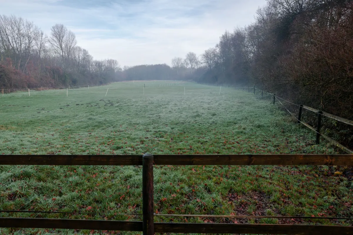
Somewhere near you is a field boundary older than the house you live in. A bank of earth with hawthorn on top, a wall stepping up a hillside, a ditch that has held its line through two centuries of ploughing. These lines are the skeleton of the countryside. They decide where water runs, where stock can go, where birds nest and where the wind is broken — though almost none of them were designed with any of that in mind. Knowing why they sit where they do turns a walk into something closer to reading.
Before enclosure, much of lowland Britain was farmed in open fields. Villages held scattered strips across two or three great fields, with common grazing beyond and shared rights to wood and waste. The strips were divided by little more than a furrow or a baulk of unploughed grass, and they were reshuffled from time to time. The landscape was open; its real boundaries were the edges of the parish.
Enclosure changed that. It was not a single event but a long, uneven process. Medieval farmers enclosed some fields from the waste; Tudor landlords imparked land for sheep; and between roughly 1750 and 1850, parliamentary enclosure acts redrew huge areas of England and Wales. Commissioners walked the land, allotted strips, extinguished commons and laid out new farms. The result was the patchwork of hedged fields, walls and ditches that many people still mistake for an ancient, untouched landscape. In fact, it was one of the largest planned transformations of the British countryside.
Old boundaries are local documents. Their materials record geology, climate and farming needs. A hedge on a bank suits heavy clay; a drystone wall suits limestone or granite; a wet ditch suits flat, poorly drained ground. The type of boundary tells you what the land could and could not do.
A good hedgerow is not just a line of thorn. It is a thin wood, cut and laid to keep animals in and wind out. Hazel, ash, field maple, oak, spindle, crab apple and wild service tree may appear. Wood anemone, bluebell, primrose and dog’s mercury at the base can hint at a hedge that is centuries old, perhaps a remnant of woodland or a boundary mentioned in a Saxon charter. A hedge laid every ten to fifteen years thickens at the base and lasts far longer than one flailed into a box shape each autumn.
Drystone walls are architecture without cement. In the Cotswolds, Yorkshire Dales, Peak District and parts of Wales, they mark sheep country where stone was easier to find than timber. Gaps called sheep creeps let sheep through but not cattle. Ditches, by contrast, are water machinery. They carry runoff from fields, lower the water table and mark property lines. In the Fens and Somerset Levels, ditches and rhynes are as important as any hedge, keeping land dry enough to farm.
Boundaries follow the logic of the land. They climb contours to avoid erosion, turn away from wet hollows, and meet streams at right angles. They mark parish edges, manorial limits and tithe boundaries. Some trace Roman roads, drovers’ tracks or medieval headlands. Others were drawn by enclosure commissioners with a ruler and a map, which is why they can look rigidly straight beside older, curving boundaries.
Look at a field boundary and you are seeing a negotiation between soil, slope, water, ownership and law. A hedge along a ridge may be a parish boundary older than the field it encloses. A wall running downhill may simply separate arable from pasture. A ditch beside a lane may once have been a quarry, a drain, or a defensive bank. The line persists because it solves a problem: water, stock, access or tax.
Hedgerows are motorways for wildlife in a landscape of fields. They shelter nesting birds such as yellowhammers, whitethroats and linnets. They feed bees, hoverflies and butterflies. Bats commute along them, catching insects in the lee of the hedge. Dormice use them to move between woods. Old walls shelter lichens, mosses, ferns and solitary bees. Ditches hold amphibians, dragonflies and aquatic plants. A field boundary is never only a boundary; it is habitat, shelter and a route.
Boundaries shape water. Ditches slow runoff and trap sediment. Hedges and banks reduce the speed of rainwater, allowing it to infiltrate rather than rush into streams. On exposed hills, a hedge or wall cuts wind speed, protecting crops and livestock. A sheltered field can be several degrees warmer and less prone to soil blow. In an era of flash floods and drought, these old lines are quiet infrastructure.
For farmers, boundaries are tools. They separate fields for grazing rotations, keep cattle out of crops, provide shade and windbreak, and mark ownership. A laid hedge is a living fence that repairs itself. A well-built wall can last a century. A ditch can turn a boggy field into productive pasture. The best boundaries are not obstacles to farming; they are part of it.
You do not need a laboratory to begin. Use your eyes, a map and a little patience.
“A boundary is a decision that outlives the person who made it.”
Old boundaries are not indestructible. After the Second World War, grants encouraged farmers to remove hedges and plough up banks to create larger fields. Many lines vanished. Others survive as neglected, gappy rows. Over-trimming turns hedges into low boxes with little nesting cover. Ash dieback threatens hedgerow trees. Dutch elm disease removed elms from many lines. Development, roads and mineral extraction sever corridors.
Yet stewardship is possible. Agri-environment schemes pay for hedgerow management, stone wall repair and ditch restoration. Conservation groups train volunteers in hedge laying, coppicing and drystone walling. Farmers can leave buffers beside ditches, plant new hedgerow trees and cut hedges on a rotation rather than every year. A hedge cut less often produces more flowers, berries and insects. A wall repaired in winter can last another generation.
Old field boundaries are not nostalgia. They are working heritage. They store carbon in woody growth and soil. They slow floods, shelter crops, feed pollinators and connect habitats. They make the countryside legible: a wall tells you where the sheep went; a ditch tells you where the water goes; a hedge tells you where the parish ends. They also give a place its character. A field system of sinuous hedges and stone walls feels different from an open prairie of wheat, and that difference is ecological as well as visual.
So next time you walk past a straggling hedge or a mossy wall, read it. Ask why it is there, who laid it, what it separates and what lives in it. The answer will usually be older, stranger and more useful than you expected. The countryside is not just fields; it is lines. And those lines are still shaping everything around them.
Photo: Sergej ***** / Pexels
A season-by-season packing checklist for a full day on rural trails: layers, waterproofs, navigation,...
A practical guide to housing, feeding, milking, and the daily routine that keeps a family milk goat...
A practical guide to organizing a rural tool-sharing circle: recruiting a few neighbors, cataloging...